During the past ice season about 700 FDDs were accumulated in Peshnoi area which makes it a moderate winter. The season has started in the beginning of December followed by thawing period. Freeze-up took place in the end of December. Winter had several thawing and freezing periods in January and February. The maximum ice volume and ice coverage was reached in late February and early March. The ice has lasted until beginning of April with a total season duration of about 120 days.
Ice Season from Space
Scroll through selection of remote sensing images below to see how ice cover developed through the course of winter.


Ice & Metocean Observations
The following video is a daily time lapse of ice and metocean observations for the whole season
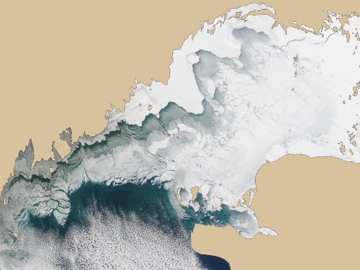
Big SE drift
Medium resolution optical image in January illustrates large scale South-Eastern drift across whole North Caspian Sea.
MORE INFORMATION
Talk to our ice consultants how this information can facilitate your operations.