Once again, the past winter set another record to be the lowest by
ice cover development season in the Caspian. It is the second warmest
season if judged by FDD. The was one that was warmer in 2015-2016.
However, freeze-up was a lot later and extreme negative temperatures
were lower in January that allowed to freeze more ice that season. The
maximum volume reached this season is 4.3 cubic km. This is a very
small number compared to 19.2 that was observed in 2017-2018 and 17.3 in
2014-15.
Ice Season from Space
Scroll through selection of remote sensing images below to see how ice cover developed through the course of winter.
Ice & Metocean Observations
The following video is a daily time lapse of ice and metocean observations for the whole season
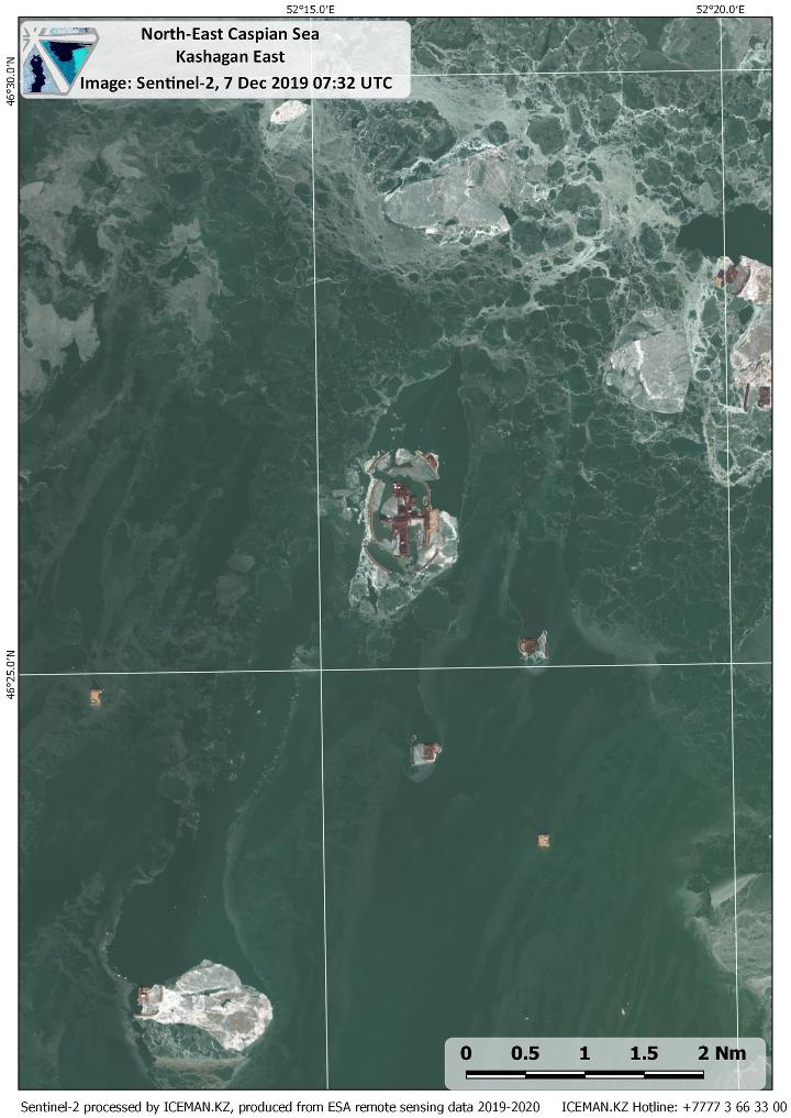
Ice melt period in December
High resolution optical image from Sentinel-2 allowed to observe ice condition in Kashagan area during warm-up period in December 2019.

MORE INFORMATION
Talk to our ice consultants how this information can facilitate your operations.


