Remote Sensing
ICEMAN is focused on operations with remote sensing data handling numerous satellite platforms with diverse sensors (mainly SAR). We gained vast experience in data post-processing and automation through years of ice charting operations and intend to share our knowledge through provision of Remote Sensing Services.
SATELLITE PLATFORMS AND MISSIONS
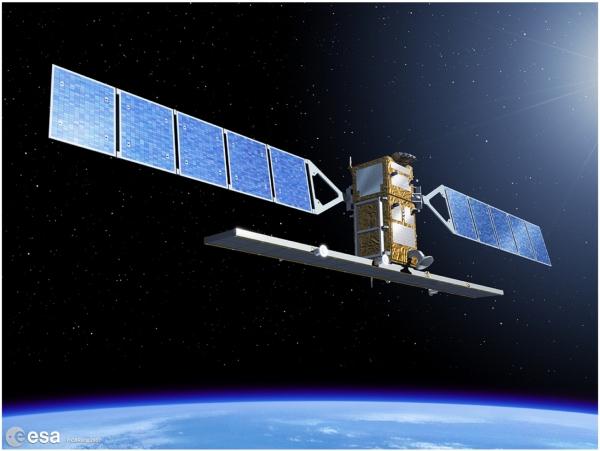
Sentinel Mission
Sentinel Mission within Copernicus Program is the major source of remote sensing data and driver of our research in ICEMAN.KZ.
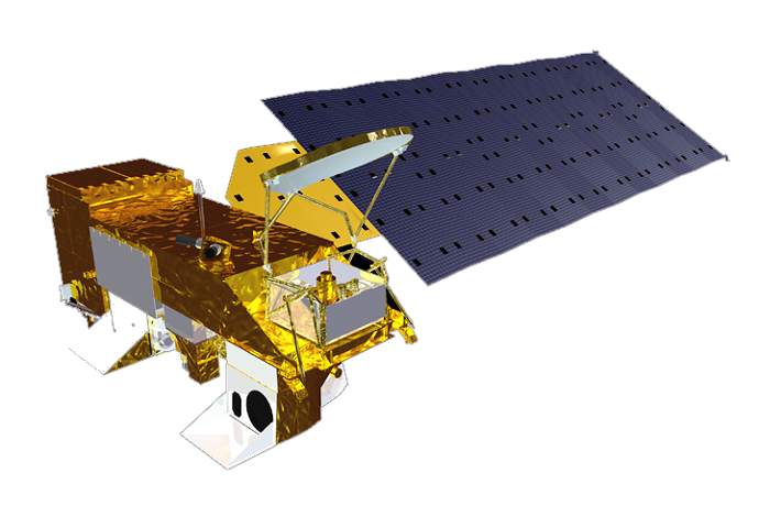
MODIS
Optical images from MODIS sensors installed of Terra & Aqua satellite platforms are the main source of daily information on ice cover.
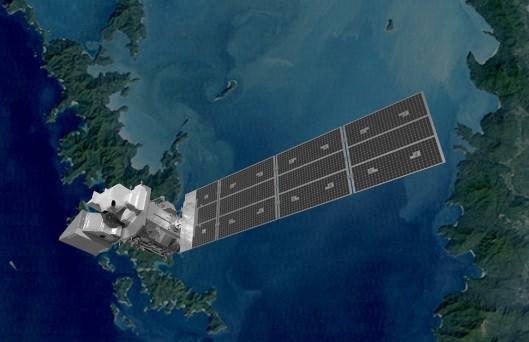
Landsat Mission
The NASA/USGS Landsat Program provides the longest continuous space-based record of Earth’s land in existence.
POST PROCESSING
Post-processed images are adjusted for operational ice charting or other required purposes. Provision service includes download of image from the source, post-processing on our server and further dissemination to clients either with data push to Client’s data repository or hosting on ours.
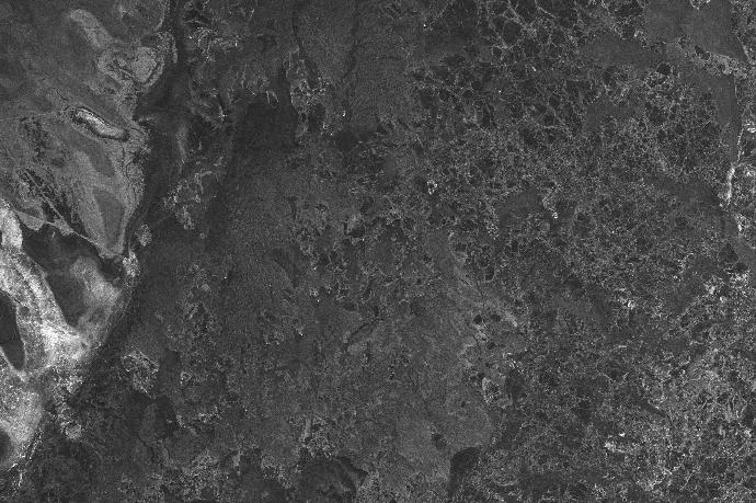
SAR data
Sentinel-1 is the main SAR platform we deal with regularly. The same type of post-processing is available for commercial SAR platforms ( Radarsat-2, TerraSAR, CosmoSkyMED, IceEYE ). Post-processing is readily available for the most popular SAR data providers. However, it will take short mobilisation time to start processing any other data of your interest. ENVISAT, ERS, Radarsat-1 and others are not the only ones that we can deal with if talking of historical investigations over regions. Processing the datasets for variety of applications (not only ice charting) is possible for any AOI where the data is available in the early years of SAR development.
Sample SAR post-processed images for the Caspian Sea are accessible on our public OneDrive folder.
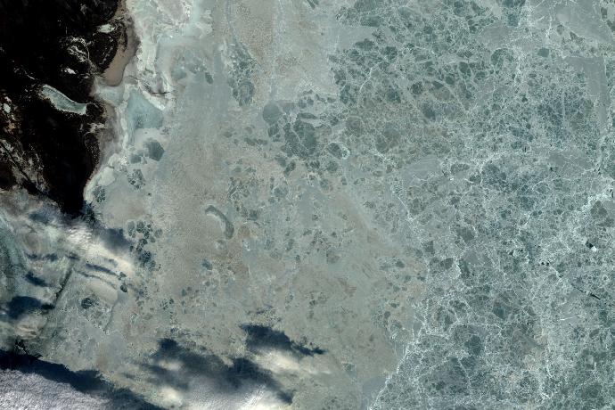
Optical data
MODIS: Terra and Aqua are used to provide regional quicklooks and update general knowledge of ice cover development on regional scale. They are also used to assess cloud cover for higher resolution imagery download decisions. Sentinel-2 and Landsat: Operational processing of scenes is based on usability constraints from cloud cover for ice charting purposes. Unique algorithms combining most useful bands were developed in-house to ensure no details are lost due to snow cover hiding majority of ice features with conventional methods. Advanced compression and mosaicking technics ensure delivery of fast-to-use light image for regional analysis.
Sample optical post-processed images for the Caspian Sea are accessible on our public OneDrive folder.
IMAGES AVAILABILITY
Satellite Log prepared by ICEMAN.KZ visualizes records of satellite images available over the region of the Northern Caspian Sea starting 2000. The catalogue is regularly updated with newly acquired images that were processed for regional ice database.
Note: Data Providers’ terms and conditions apply on all disseminated original data available for free access as well as ICEMAN.KZ on post-processed products. For commercial platforms User Lisence should be obtained for Clients.
The services are subscription based on client needs for NRT operational support and lumpsum for project based investigations.
Free-of-charge data processing and access to archive of our data is available for Academic applications in the Caspian Sea.
Interested in more details about these datasets?
Benefit from the most sophisticated and agile ice and metocean analysis developed by ICEMAN to cut your operational costs and support your complex decisions with data.
Enhance your research conducting it with ICEMAN. Apply for data access.